
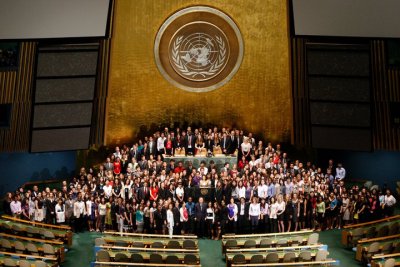
During the summer of 2010, I had the opportunity to intern at the United Nations in the Cartographic Section, a subdivision of the Department of Field Support. This internship afforded the opportunity to enhance my skills in the implementation of ArcGIS to real-world situations. More specifically, I assisted in producing a global, small-scale database at the 1, 5, and 10 million scales. Challenges included integrating different data sources, applying scale IDs to display feature classes at various scales, and determining a systematic approach to apply a cartographic representation to country-profile maps. The long-term purpose was to produce a Web mapping application to provide timely spatial information to the Security Council.