Migration and Climate
Policy researcher and strategist specializing in migration and mobility
Scott Drinkall is a policy researcher and strategist focused on migration, climate change, and community resilience. A PhD student in Public Policy at George Mason University and a Consultant with the Nexight Group, he blends rigorous research with practical problem-solving. Scott has advised leaders in Hawai‘i, conducted fieldwork across the Pacific and Asia, and supported projects at the United Nations. His work brings clarity to complex policy challenges—whether shaping regulatory frameworks, advancing public health, or exploring how climate change reshapes mobility.
About
Global Research, Local Partnerships
I’ve worked across the Pacific, East Africa, and Asia—partnering with communities, governments, and international organizations to address pressing challenges in migration, climate change, and public health.
Publications (selected)
2025
2024
2019
2022
UPCOMING RESEARCH
UPCOMING RESEARCH
Navigating Home: Return Migration Intentions Among Pacific Islanders
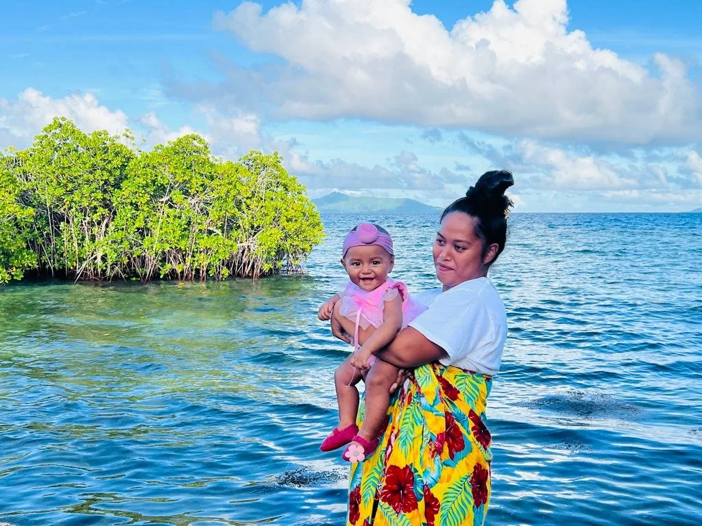
Federated States of Micronesia (remote)
Pacific Islanders face a dual reality: rising seas and intensifying storms threaten their homelands, while opportunities and stability in the United States pull them away. Under the Compacts of Free Association (COFA), citizens of Micronesia, the Marshall Islands, and Palau can move freely between both worlds—making their return migration decisions especially revealing. This study uses surveys and interviews to explore why some Islanders consider going back, what holds them in the U.S., and how climate change and identity shape those choices. By centering the voices of a highly mobile yet underrepresented community, the research offers fresh insights for climate mobility scholarship and delivers practical guidance for policymakers and organizations supporting Pacific Islanders at home and abroad.
Return Migration in Micronesia: An Inquiry into Reintegration
Salem, OR or Springdale, AR
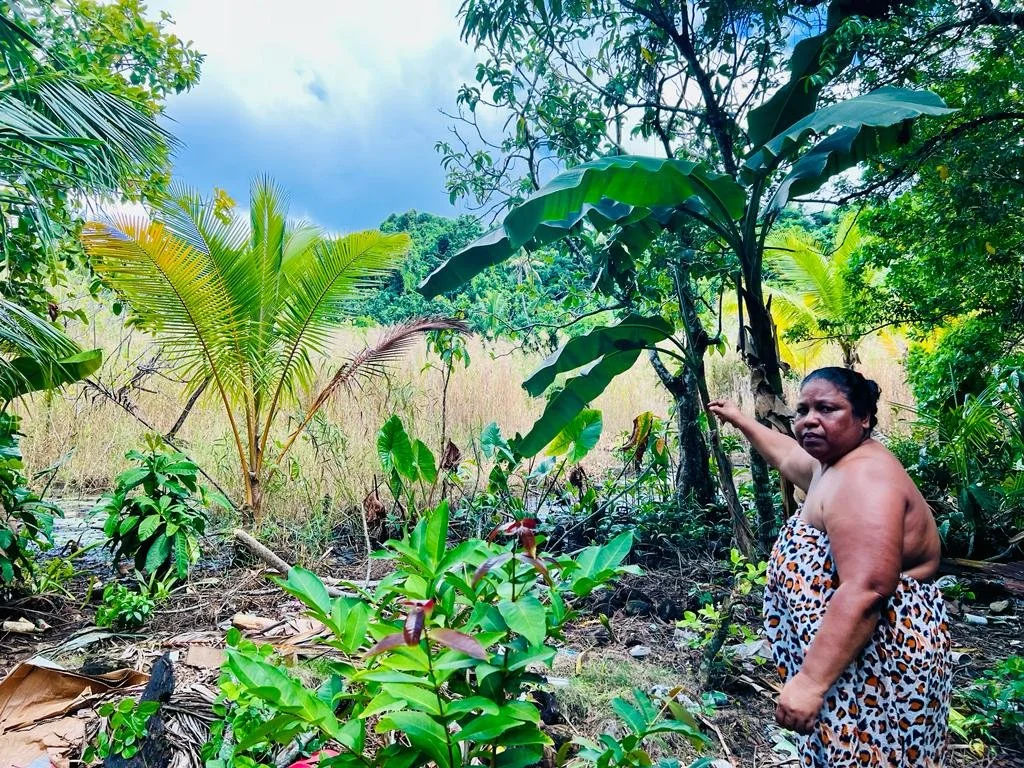
Return migration remains an underexamined aspect of global mobility, especially within Small Island Developing States (SIDS). In Micronesia, most scholarship focuses on outward migration and diaspora communities, leaving returnees’ experiences largely unexplored. This study will investigate how Chuukese migrants navigate identity, belonging, and reintegration after returning from abroad. Drawing on semi-structured interviews with returnees, the research examines three dimensions: identity negotiation, decision-making factors, and reintegration challenges and supports. An interpretivist, grounded theory approach allows themes to emerge directly from participants’ narratives, while reflexivity ensures attention to power dynamics and positionality. By centering returnees’ voices, the study advances understanding of migration as a circular and identity-driven process, with implications for policy, development, and broader migration theory.
An annual publication from the Circle gallery diving deep into the cyclical nature of cultural movements.
CIRCLE
I’ve been involved with ethical accessories brand Touzery since the beginning, partnering on their branding, website and seasonal lookbooks. Bags by Cuero&Mør.
